Follow these simple steps
Contact Dial Before You Dig (DBYD) to order a plan before you start any digging.
The free DBYD plan will locate underground utilities (pipes, cables) on your property. It provides information about the presence of underground infrastructure only; it does not pinpoint the exact location. You should use these plans as a guide only.
If the Dial Before You Dig plan shows Unitywater infrastructure on your property (water mains, sewer mains, maintenance holes), and you need more detailed information about the location of our infrastructure you can:
- use our free online mapping tool (step 2 below) to show the location of our underground water and sewerage infrastructure
- or, if you need an official PDF version of the map emailed to you then you can buy a Detailed Infrastructure Plan (step 3 below). The online mapping tool and Detailed Infrastructure Plan contain the same information.
More information about DBYD
- If you have not ordered a Dial Before You Dig plan, you can come straight to us to use our map or order a Detailed Infrastructure Plan (DIP).
- Lodging a standard DBYD enquiry is free.
- Dial Before You Dig aims to prevent damage and disruption to essential underground services.
- It is not a Unitywater service, but DBYD plans will display Unitywater infrastructure.
- You can request a DBYD plan for private property as well as for public land, including parks and sections of road.
- Note: Assets belonging to Main Roads or Queensland Rail will not be provided on Dial Before You Dig plans because these bodies are not members of the DBYD group. To request DTMR (Department of Transport and Main Roads) asset information, please email planroom@tmr.qld.gov.au. To request Queensland Rail (QR) asset information, please go to the QR web page.
1. Use our easy-to-use mapping tool to pinpoint the location of our infrastructure underground
2. This mapping tool has the same information that would be provided in a Detailed Infrastructure Plan (DIP) and can be exported as a PDF or printed.
3. Agree to the terms and conditions and press OK
4. Enter your address in the top left search bar (please be patient while the location loads).
5. Your address will be pinpointed and you will be able to see the surrounding water and sewerage infrastructure. The legend on the right hand side can help you: For example:
- blue lines are the water pipes
- blue dots are hydrants
- orange lines are the sewerage pipes
- orange dots are maintenance holes

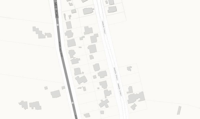
6. If you find your address on the map and you cannot see any blue or orange lines running near the property (example below) this indicates there is no Unitywater infrastructure on or near your address.

7. If you cannot find your address on the map this indicates Unitywater has not received the necessary information to update our records. This can happen in the case of new developments or housing estates. Please contact the property developer to discuss.
If you still need an official PDF version of the map emailed to you then you can order a Detailed Infrastructure Plan (DIP). There is a cost for a DIP (click on GIS Mapping Services) and a 5 day turnaround. Please note: the online mapping tool has the same information that would be provided in a DIP and can be exported as a PDF or printed.
Request a Detailed Infrastructure Plan
If your plans now show that you will be building over or near Unitywater’s water and sewerage infrastructure or a Unitywater easement, it is likely that you will need approval before construction starts. Find out how to apply to build over Unitywater pipes and easements.
.
You might also be interested in
.jpg?as=1&h=160&iar=1&w=240&sc_lang=en&hash=E8931E463992D79694B179F0E2810915)
Meters and maintenance holes on your property

Building a granny flat or sub-dividing land?


